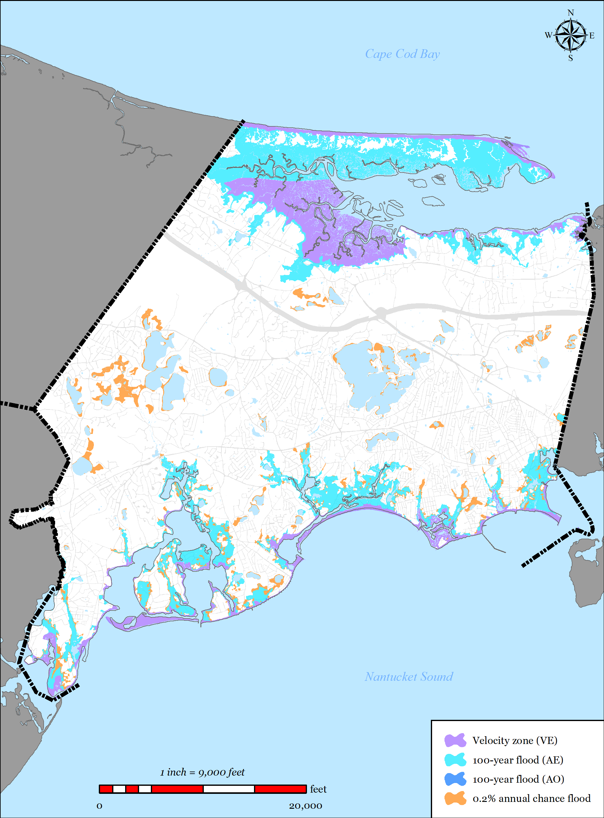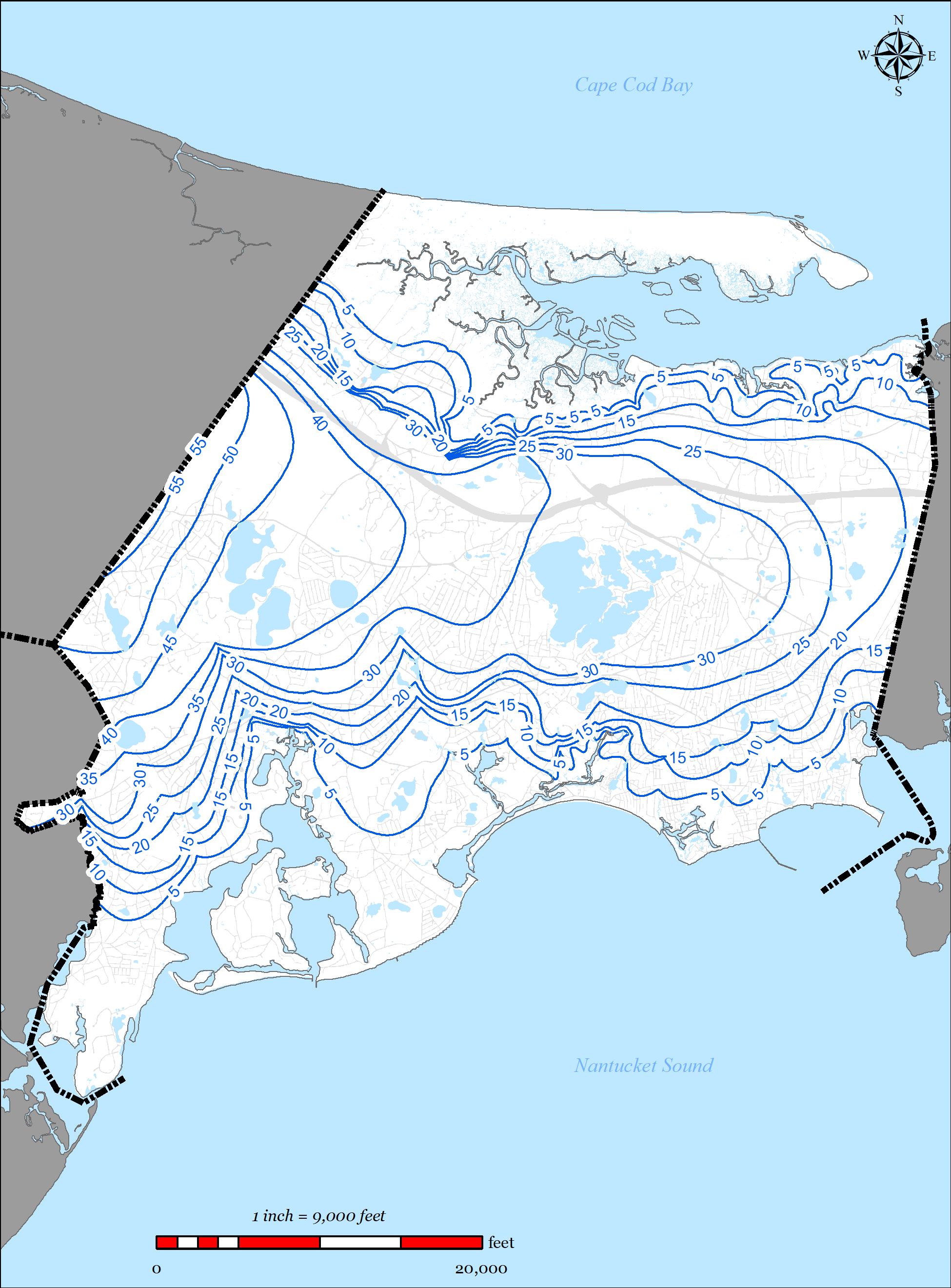

Comprehensive Wastewater Plan (CWMP)
The plan has been developed utilizing a watershed-by-watershed approach to ensure the regulatory requirements of each watershed are met. The following sections will describe the needs and proposed solutions of each of the watershed located in the Town of Barnstable. All nitrogen data provided in this section were calculated using the Town’s GIS tool and represent un-attenuated nitrogen totals.